
[twocol_one_first]
A subway system is a key marker of the spatial organization of a city. The complexity this network is an indicator of the level of service in a metropolitan area: in proportion to their population, some small cities are better equipped than some international megacities.
 [/twocol_one_first][twocol_one_last]ABOUT
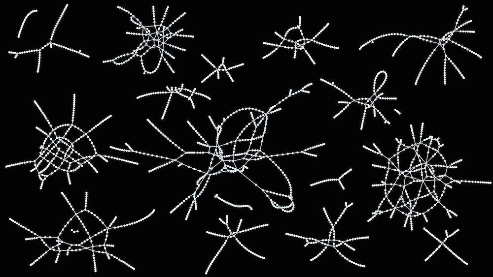
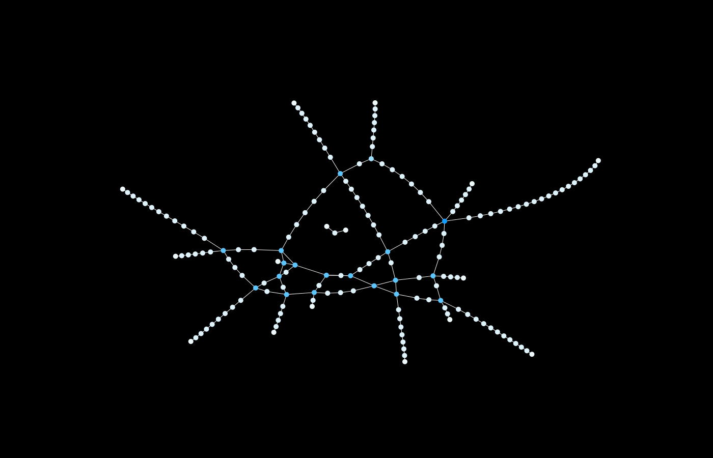
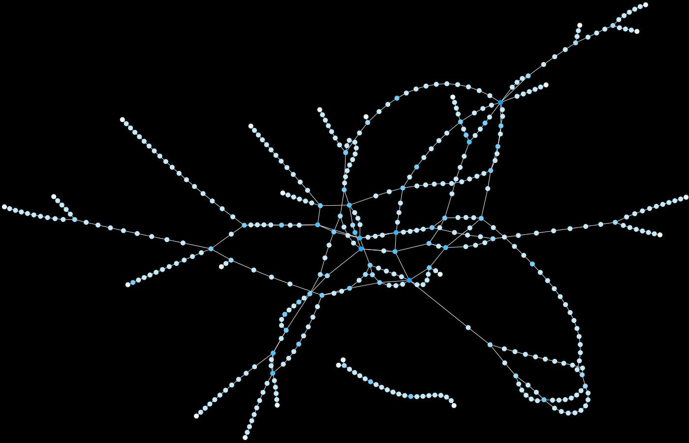
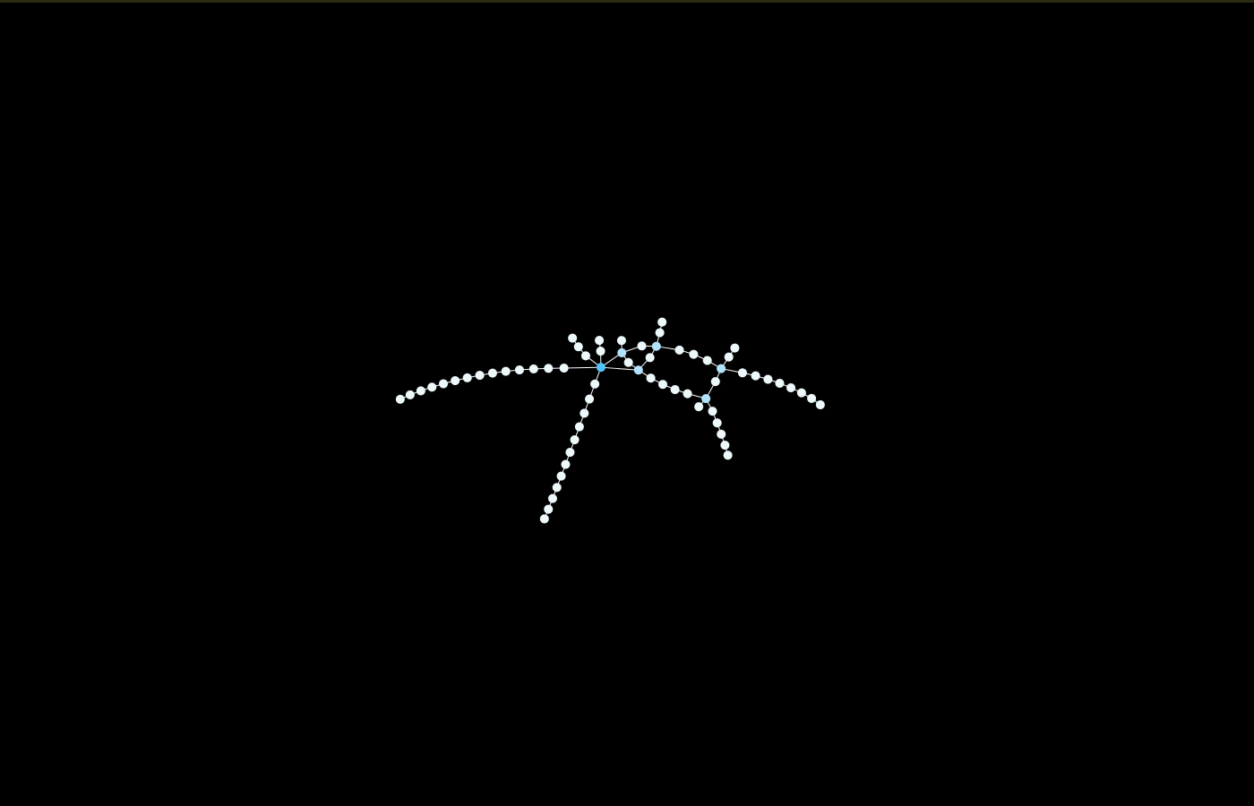
The “metro quiz” below displays 15 metro networks: will you be able to guess, among three choices, which city each one represents?
- As terminologies are different from one country to another, only the light rapid transit lines are displayed (no french RER or german S-Bahn, for example).
- The purpose of this quiz is to show that the metro network of a city can be very different from the plan available to users.
- As these networks are based on mathematical characteristics, do not rely on the orientation or other geographic features.
- Remember that the attendance of a subway is not proportional to its size.
- There is no trap, all cities proposed in the replies have a subway.
[/twocol_one_last][hr]
Take the metro quiz:
Quiz-summary
0 of 15 questions completed
Questions:
- 1
- 2
- 3
- 4
- 5
- 6
- 7
- 8
- 9
- 10
- 11
- 12
- 13
- 14
- 15
Information
Start the 15-questions quiz by clicking on the button below:
You have already completed the quiz before. Hence you can not start it again.
Quiz is loading...
You must sign in or sign up to start the quiz.
You have to finish following quiz, to start this quiz:
Results
0 of 15 questions answered correctly
Your time:
Time has elapsed
You have reached 0 of 0 points, (0)
| Average score |
|
| Your score |
|
Categories
- Not categorized 0%
-
Thank you for playing!
⬇︎ Check the detailed results by clicking on View questions.
And do not forget to share this quiz to challenge your friends!
- 1
- 2
- 3
- 4
- 5
- 6
- 7
- 8
- 9
- 10
- 11
- 12
- 13
- 14
- 15
- Answered
- Review
-
Question 1 of 15
1. Question
 Correct
Incorrect
-
Question 2 of 15
2. Question
 Correct
Incorrect
-
Question 3 of 15
3. Question
 Correct
Incorrect
-
Question 4 of 15
4. Question
 Correct
Incorrect
-
Question 5 of 15
5. Question
 Correct
Incorrect
-
Question 6 of 15
6. Question
 Correct
Incorrect
-
Question 7 of 15
7. Question
 Correct
Incorrect
-
Question 8 of 15
8. Question
 Correct
Incorrect
-
Question 9 of 15
9. Question
 Correct
Incorrect
-
Question 10 of 15
10. Question
 Correct
Incorrect
-
Question 11 of 15
11. Question
 Correct
Incorrect
-
Question 12 of 15
12. Question
 Correct
Incorrect
-
Question 13 of 15
13. Question
 Correct
Incorrect
-
Question 14 of 15
14. Question
 Correct
Incorrect
-
Question 15 of 15
15. Question
 Correct
Incorrect
[hr]
Update – after the quiz, see the results here:
RESULTS
Software used: Gephi
http://dinopoloclub.com/minimetro/ 😉
What were the nodes and edges used to create metro maps in gelphi?
Hello, I created the files myself, based on the metro plans (directly in Gephi, connecting dots together line after line). So, a node is a station and an edge is a metro line between two stations.